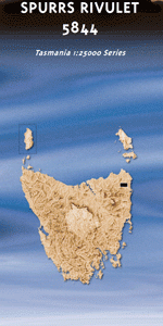
TAS 5844 – Spurrs Rivulet on Sale
- Estimated Delivery : Up to 4 business days
- Free Shipping & Returns : On all orders over $200
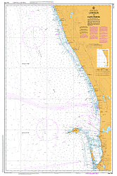
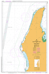
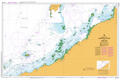
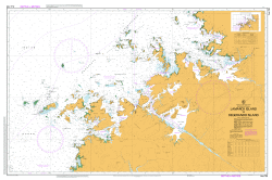
This Topographic Map is produced by the Department of Primary Industries, part of the Tasmanian Government.
These maps are an important resource for Government, industry, and the public. They are used for environmental and emergency management, farm planning and mineral exploration. They are also popular for recreational users such as bushwalkers, mountain bike and horse riders.
The PDF version of this can be printed at home or sent to a professional printer for a 100% scale reproduction.
At this scale, 4cm on this map represents 1km on the ground. A standard map (which is square) covers an area of approximately about 12.5km by 12.5km, with a contour interval of 10m. This map contains natural and constructed features including road and rail infrastructure, vegetation, hydrography, contours, localities and some administrative boundaries.
Ansons River Bark Hut Marsh Budgeons Creek Cascade Creek Churchs Marsh Cotton Creek Dawn Rivulet Dead Horse Creek Depression Creek Diamond Creek Fraser Creek Griffiths Marsh Harpers Mistake Creek Hop Bank Janeys Creek Joe Peppers Creek Larsen Creek Last River Little Cotton Creek Little Mount Michael Little Run Marsh MacMichael Creek Masher Creek Masher Hill McGoughs Lookout Mount Marie Mount Michael Mount O Reilly Musselroe Creek New England Park Perennial Creek Pine Flat Creek Pipdoodle Creek Reids Creek Rocky Creek Royston Creek Schroeders Creek Sir Garnet Creek South Maud Creek Southern Cross Creek Spurrs Rivulet Sun Creek Tinkle Creek Velocipede Creek Wild Pig Hill Wurrawa Hill Beales Shaft Blue Tier Forest Reserve Gun Barrel Straight Inhams Hole Mount Michael Rainforest The Station Wheal Tasmanian Hills Mount OReilly Blue Tier
| Title | Pdf Download |
|---|