TAS 5760 – Sister Supply
- Estimated Delivery : Up to 4 business days
- Free Shipping & Returns : On all orders over $200
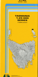
This Topographic Map is produced by the Department of Primary Industries, part of the Tasmanian Government.
These maps are an important resource for Government, industry, and the public. They are used for environmental and emergency management, farm planning and mineral exploration. They are also popular for recreational users such as bushwalkers, mountain bike and horse riders.
The PDF version of this can be printed at home or sent to a professional printer for a 100% scale reproduction.
At this scale, 4cm on this map represents 1km on the ground. A standard map (which is square) covers an area of approximately about 12.5km by 12.5km, with a contour interval of 10m. This map contains natural and constructed features including road and rail infrastructure, vegetation, hydrography, contours, localities and some administrative boundaries.
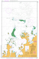
Eagles Nest East Hill Edens Reef Beach Bay Blyth Point Deadmans Rock Elbow Bay Holloway Point House Bay Hut Bay Inner Sister Island Jacksons Cove Jacksons Cove Conservation Area Ketch Rock Nettle Gully North Beach North East Rock Outer Sister Island Shag Reef She Oak Point Sister Islands Conservation Area Sisters Passage Sleepy Beach South West Point Stanley Point Stern Choppers The Elbow West Hill Woolshed Point Diamond Gully Float Gully Manganna Boat Harbour Stumpys Bay East Sister Island North Sister Island The Sisters Sisters West Sister Island South Sister Island North Point
| Title | Pdf Download |
|---|