TAS 5722 – Hippolyte Online
- Estimated Delivery : Up to 4 business days
- Free Shipping & Returns : On all orders over $200
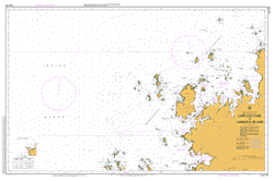
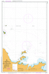
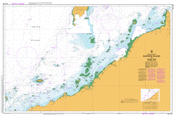
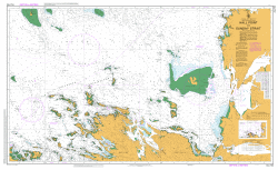
This Topographic Map is produced by the Department of Primary Industries, part of the Tasmanian Government.
These maps are an important resource for Government, industry, and the public. They are used for environmental and emergency management, farm planning and mineral exploration. They are also popular for recreational users such as bushwalkers, mountain bike and horse riders.
The PDF version of this can be printed at home or sent to a professional printer for a 100% scale reproduction.
At this scale, 4cm on this map represents 1km on the ground. A standard map (which is square) covers an area of approximately about 12.5km by 12.5km, with a contour interval of 10m. This map contains natural and constructed features including road and rail infrastructure, vegetation, hydrography, contours, localities and some administrative boundaries.
Agnes Creek Bivouac Bay Bivouac Creek Canoe Bay Cape Hauy Cheverton Rock Denmans Creek Dolomieu Point Fortescue Fortescue Bay Fortescue Lagoon Fortescue Plains Hippolyte Rocks Mill Creek Mimosa Falls Mitre Rock O Hara Bluff Red Dirt Bluff Simmonds Creek Simmonds Hill Simmonds Marsh Snake Hill Surveyors Cove Tasman National Park The Candlestick The Lanterns The Monument Thumbs Point Totem Pole Tunah Plains Walkers Creek Big Hippo Bottle Corner North West Bay OHara Bluff Oakwood Cape Nola Mount Fortescue Port Arthur
| Title | Pdf Download |
|---|