TAS 5036 – O Connors Online now
- Estimated Delivery : Up to 4 business days
- Free Shipping & Returns : On all orders over $200
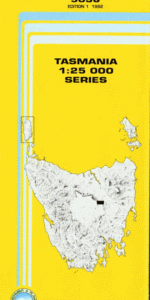
This Topographic Map is produced by the Department of Primary Industries, part of the Tasmanian Government.
These maps are an important resource for Government, industry, and the public. They are used for environmental and emergency management, farm planning and mineral exploration. They are also popular for recreational users such as bushwalkers, mountain bike and horse riders.
The PDF version of this can be printed at home or sent to a professional printer for a 100% scale reproduction.
At this scale, 4cm on this map represents 1km on the ground. A standard map (which is square) covers an area of approximately about 12.5km by 12.5km, with a contour interval of 10m. This map contains natural and constructed features including road and rail infrastructure, vegetation, hydrography, contours, localities and some administrative boundaries.
Park View Parknook The Glen The Bend Barton Caseyville Rothbury Abrahams Creek Bluff Bottom Boomers Bottom Dabool Rivulet First Creek Isis Kingstone Rivulet Mitford Hills Mount Kingstone Musk Creek O Connors Peak O Connors Sugarloaf Parson and Clerk Mountain Shoobridge Creek Single Hill Sugarloaf Creek Thunderstorm Creek Tierney Creek Deep Creek Ploughed Field OConnor Peak Mount Kingston
| Title | Pdf Download |
|---|