QLD 9444-24 Online
- Estimated Delivery : Up to 4 business days
- Free Shipping & Returns : On all orders over $200
This Topographic Map is produced by the Department of Natural Resources and Mines (DNRM), part of the Queensland Government.
This product is continously updated with the latest information available. New editions are generally published in Oct Nov each year, however minor updates are constantly being included.
DNRM maps are produced automatically by computers, with minimal human oversight; so some duplication of information and occasional minor cartographic inconsistencies can be found.
The PDF version of this can be printed at home or sent to a professional printer for a 100% scale reproduction.
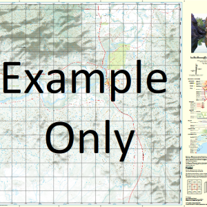
At this scale, 4cm on this map represents 1km on the ground. A standard map (which is square) covers an area of approximately about 12.5km by 12.5km, with a contour interval of 10m. This map contains natural and constructed features including road and rail infrastructure, vegetation, hydrography, contours, localities and some administrative boundaries.
Maleny Bellthorpe State Forest Candle Mountain Conondale Crohamhurst Creek Ewen Creek Ewen Creek North Branch Ewen Creek South Branch Geraghty Creek Crohamhurst State Forest Bellthorpe Forest Reserve 1 Maleny Forest Reserve 1 Reesville Booroobin Moreton Bay Regional Council Cedarton Commissioners Flat Arley Creek Clark Creek Daley Creek Fryar Creek Gardners Falls Graves Creek Howells Knob Willow Creek Walkers Creek Booroobin Sunshine Coast Regional Council Crohamhurst Peachester Wootha Walker Hill White Mountain
| Title | Paper, Laminated, Pdf Download |
|---|