QLD 9444-11 on Sale
- Estimated Delivery : Up to 4 business days
- Free Shipping & Returns : On all orders over $200
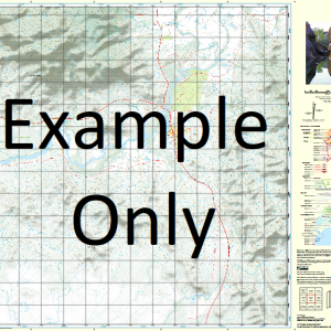
This Topographic Map is produced by the Department of Natural Resources and Mines (DNRM), part of the Queensland Government.
This product is continously updated with the latest information available. New editions are generally published in Oct Nov each year, however minor updates are constantly being included.
DNRM maps are produced automatically by computers, with minimal human oversight; so some duplication of information and occasional minor cartographic inconsistencies can be found.
The PDF version of this can be printed at home or sent to a professional printer for a 100% scale reproduction.
At this scale, 4cm on this map represents 1km on the ground. A standard map (which is square) covers an area of approximately about 12.5km by 12.5km, with a contour interval of 10m. This map contains natural and constructed features including road and rail infrastructure, vegetation, hydrography, contours, localities and some administrative boundaries.
Yandina Ninderry North Arm Mount Bottle And Glass Browns Creek Bunya Bunya Creek Caboolture Creek Carol Creek Chambers Gully Mount Combe Fair Hill Ferntree Creek Ferntree Creek National Park Point Glorious Gneering Gold Creek Kiamba Falls King Creek Maroochy Ninderry Range North Maroochy River Pidnung Island Rock of Ages Creek Rocky Creek Running Creek Slaughter Yard Creek South Maroochy River Sunshine Coast Swain Peak Tuckers Creek Wappa Dam Mount Wappa York Creek Maroochy Forest Reserve 2 Parklands State Forest Parklands Conservation Park Parklands Forest Reserve Maroochy Forest Reserve 3 Echidna Creek Bridges Cooloolabin Highworth Image Flat Kiamba Kulangoor Kureelpa Nambour Parklands Mount Ninderry Yandina Creek Brown Creek Mount Warra
| Title | Paper, Laminated, Pdf Download |
|---|