QLD 9443-34 Discount
- Estimated Delivery : Up to 4 business days
- Free Shipping & Returns : On all orders over $200
This Topographic Map is produced by the Department of Natural Resources and Mines (DNRM), part of the Queensland Government.
This product is continously updated with the latest information available. New editions are generally published in Oct Nov each year, however minor updates are constantly being included.
DNRM maps are produced automatically by computers, with minimal human oversight; so some duplication of information and occasional minor cartographic inconsistencies can be found.
The PDF version of this can be printed at home or sent to a professional printer for a 100% scale reproduction.
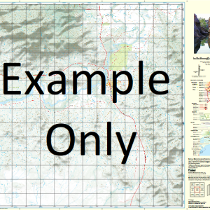
At this scale, 4cm on this map represents 1km on the ground. A standard map (which is square) covers an area of approximately about 12.5km by 12.5km, with a contour interval of 10m. This map contains natural and constructed features including road and rail infrastructure, vegetation, hydrography, contours, localities and some administrative boundaries.
Loganview River View Bellevue Winton Vale Monreid Stud Talungra Robenlea Alverley Rockville The Cedars Apel Inlet Bauer Point Bellevue Bay Bigges Crossing Bigges Peninsula Billies Bay Billies Crossing Conroys Cove Conroys Point Crowe Point Davis Bay Deep Creek Five Mile Water Hays Crossing Hills Lagoon Hills Peninsula Kroll Peninsula Logan Creek Logan Inlet Loganview Point Loughran Peninsula McFarlanes Pocket McGraths Bay Middle Creek Moioo Bay Moioo Creek Monreid Point Moombra Bay North Brook Northbrook Creek Northbrook Inlet Paddy Gully Paddys Inlet Pakleppa Point Pine Hill Platypus Cliffs Robenlea Point Rockville Point Sandy Creek Sim Jue Creek Stony Creek Tea Tree Creek Tea Tree Inlet The Wash Pool Tulungra Inlet Tulungra Promontory Varleys Cove Varleys Hill Wash Pool Knoll Watson Peninsula Whitfield Point Wivenhoe Lake Wivenhoe O Briens Point Wivenhoe Hill Wivenhoe Dam Pad Gully Bryden Dundas Northbrook
| Title | Paper, Laminated, Pdf Download |
|---|