QLD 9443-31 Fashion
- Estimated Delivery : Up to 4 business days
- Free Shipping & Returns : On all orders over $200
This Topographic Map is produced by the Department of Natural Resources and Mines (DNRM), part of the Queensland Government.
This product is continously updated with the latest information available. New editions are generally published in Oct Nov each year, however minor updates are constantly being included.
DNRM maps are produced automatically by computers, with minimal human oversight; so some duplication of information and occasional minor cartographic inconsistencies can be found.
The PDF version of this can be printed at home or sent to a professional printer for a 100% scale reproduction.
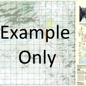
At this scale, 4cm on this map represents 1km on the ground. A standard map (which is square) covers an area of approximately about 12.5km by 12.5km, with a contour interval of 10m. This map contains natural and constructed features including road and rail infrastructure, vegetation, hydrography, contours, localities and some administrative boundaries.
Glenhaven Branch Creek Dundas Flagstone Creek Hernandia Hill Hine Peninsula Kipper Creek Northbrook Pine Creek Redman Creek Sawyer Creek Mount Sim Jue Splityard Creek Dam Tenison Woods Mountain The Bulls Knob The Summit England Creek Brisbane City England Creek Somerset Regional Council Split Yard Creek DAguilar Range Billies Creek
| Title | Paper, Laminated, Pdf Download |
|---|