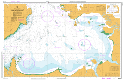
GA 8286 – Gali For Discount
- Estimated Delivery : Up to 4 business days
- Free Shipping & Returns : On all orders over $200
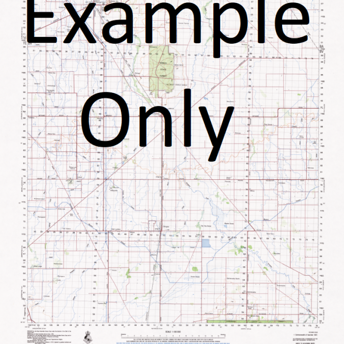
This Topographic Map is produced by Geoscience Australia; Australia s national geospatial organisation.
GA topographic maps (many of which are produced in partnership with the Army) are generally older than those maps produced by the State Governments over the same area. This makes GA maps particularly useful for identifying historic features, such as old mines and diggings.
Geoscience Australia maps generally considered to be more pleasing in design and compilation then the more modern State Government productions.
At this scale, 1cm on this map represents 1km on the ground. A standard map (which is square) covers an area of approximately 54km by 54km, with a contour interval of 20m. This map contains natural and constructed features including road and rail infrastructure, vegetation, hydrography, contours, localities and some administrative boundaries.
Please note the date of the map, as this will impact the currency of information, particularly regarding infrastructure, roads, etc.
Zedzed Creek Yupna River Yowong Yuwong Yimbunge River Yaut River Yaut Yara Yagomi Grasslands Yagomi Windluk Windiluk Weber Point Watang Walang Walong Wasikokop Warup River Wandabong Wadabo Vitiaz Strait Urawa River Tubup Teptep TEP Tapen Talmiro Subura Sowat River Somek Singorokai Singokai Singorkai Siang Seure Sel Sari River Sareuak Bay Sama River Bama River Roinji Cove Roinji Nom Plantation Nokopo Nineia Niam Nian Nemau Hamlet Narawum Kwembum Marawum Narawum-Kwembum Mur Muadul Monara Moam Mengan Mek Mamguk Mamgak Malalamai Maclay Coast Lulu River Lepsius Point Kewieng River Kewieng Number 1 Kewieng Kepoiak Keleman River Keleman Creek Kelemen River Kasu Kapungapang Kangulat Kangalut Kaeng River Kabur River Jarum River Isan Guirak Guiarak Gua Gauss Point Gali Gali 2 Gabutamon Mount Finisterre Faigurup Derongge Darongge Delbangat Danatum Dadbur River Garwar River Bwana Bwaha Bwani Bunsen Point Bulcara Bonkiman Bonga Boneia Biding River Bitten River Baup Baru Luya Bandit Bagen Saidor Airport AYSD SDI
| Title | Paper, Laminated |
|---|
