GA 8280 – Kubuna on Sale
- Estimated Delivery : Up to 4 business days
- Free Shipping & Returns : On all orders over $200
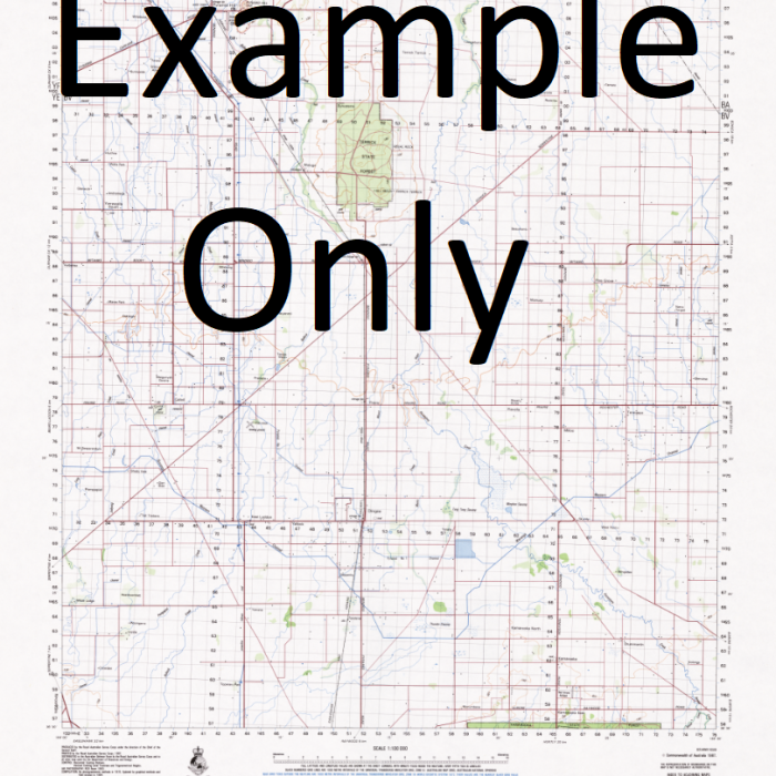
This Topographic Map is produced by Geoscience Australia; Australia s national geospatial organisation.
GA topographic maps (many of which are produced in partnership with the Army) are generally older than those maps produced by the State Governments over the same area. This makes GA maps particularly useful for identifying historic features, such as old mines and diggings.
Geoscience Australia maps generally considered to be more pleasing in design and compilation then the more modern State Government productions.
At this scale, 1cm on this map represents 1km on the ground. A standard map (which is square) covers an area of approximately 54km by 54km, with a contour interval of 20m. This map contains natural and constructed features including road and rail infrastructure, vegetation, hydrography, contours, localities and some administrative boundaries.
Please note the date of the map, as this will impact the currency of information, particularly regarding infrastructure, roads, etc.
Yule Island Lolo Island Ravao Yellow Cliff Warupi Wanono Plantation Wonona Plantation Vanuamai Vanamai Vailala Creek Ukua Estate Uapu Inlet Uafu Creek Tubu Tsitsi Rona Creek Tsiria Chiria Tomela River Tamola River Talama Creek Taipare Creek Roro Ituna Point Roro Ituna Mount Ripachina Rerena Raraina Rarai Parai Rapa Poukama Pomio Creek Pinupaka Point Au Point Pinupaka Outlook Point Ou Ou Point Gubbins Point Ou Ou Creek Oroi Creek Oroi Oriopetana Oriro Petana Oreke River O-Opa Hill Onouto Creek Olea Obaoba Obaoba Mission Nikura Nicora Nikora Naruru Hill Napuru Namoa Creek Nama Musgrave Reef Mou Creek Mou Mava Creek Mava River Mauru Point Mauru Mauru Mauru Mauru Reef Matsika Mainohana Mission Maimai Maima Madi Creek Lolorua Plantation Mount Lolopata Lokulaulau Laril Iaril Lapeka Atene Mount Kupata Kubuna River Kabuna River Kibuna Kubuna Mission Kopuana Kaufana Koupuana Koiana Keveamakana Keke Mount Kebea Keabada Point Keabada Kea Pada Nabuapaka Kauraona Plantation Kapripata Point Kapemoku Kanosia Kanosia Plantation Kamasia Creek Kairuku District Kairuku Kiaruku Kailope River Kaiau Kaeiu Jesubaibua Ivara Irobo Inawi Inawaia Inauaia Inawae Inawabui Inawasui Iliakabu Creek Ikivari River Iaroga River Iaroge River Laroga River Iare Iahiluma Creek Haruapaka Bay Hall Sound Bia Ata Port Leon Fofo Fofo Foto Foto Ethel River Bioto River Epa Eppa Eboa Ebo Epo Dube Creek Doa Plantation Diumana Dilava River Dilafa River Delena DAlbertis Point D Albertis Point Mount Boria Mount Boris Bioto Landing Boitou Landing Bioto Creek Bloto Creek Bioto Boitou Biebo Creek Bereina Berena Berina Beipa Beipa a Beipaa Veifa Bebeo Bakoiudu Aveta Aweta Aura River Auga River Augu River Aropokina Landing Aropokina Arapokina Aroana Plantation Ararana Landing Angaifu Angabanga River Angabunga River Makunga River Saint Joseph River Amoamo Ala Ula Alabule River River Akevailu Aipeana Mount Afiafi BEA RKU Aroa River Abadunga River Kairuku Jetty
| Title | Paper, Laminated |
|---|
