GA 8184 – Wasus Online
- Estimated Delivery : Up to 4 business days
- Free Shipping & Returns : On all orders over $200
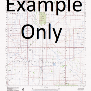
This Topographic Map is produced by Geoscience Australia; Australia s national geospatial organisation.
GA topographic maps (many of which are produced in partnership with the Army) are generally older than those maps produced by the State Governments over the same area. This makes GA maps particularly useful for identifying historic features, such as old mines and diggings.
Geoscience Australia maps generally considered to be more pleasing in design and compilation then the more modern State Government productions.
At this scale, 1cm on this map represents 1km on the ground. A standard map (which is square) covers an area of approximately 54km by 54km, with a contour interval of 20m. This map contains natural and constructed features including road and rail infrastructure, vegetation, hydrography, contours, localities and some administrative boundaries.
Please note the date of the map, as this will impact the currency of information, particularly regarding infrastructure, roads, etc.
Yanuf Yanof Wuruf Wuru Wowas Wowos Watut Mountain Wasus Mountains Needle Mountain Waime River Wafi River Waffa River Waffar River Tumbuna Tsile Tsile Gomorok Tsili Tsili Tsanianogo Government Rest House Tookena To okena Mount Tonn Mount Toamyanipa Tahmas Siaga Mount Rabumpun Pesen Onuk Onunk Obura Narowaine Mount Marutana Marilinan Maralinan Marilian Mariliman Narilian Mapun Creek Mount Lamunyang Kesin Kaurona Mount Kasini Mount Karsini Isimp River Hengeiapa Rest House Gamarok Old Gamarok Ewan Creek Elandora Mountain Mount Elandora Mount Eiyawaiyi Efafan Creek Efafan Dungatung Creek Dungatung Dunungtung Drowra Mount Butat Banir River Atiera Nomda Aringona Mount Anzara Ahea Tsewi TSW Gnarowein GWN TSI Yasuru KSX Imane IMN Engati EGA Nuwu Gawaruk Tapakanantu Urint Wala Itongwapa Wapicika Piu
| Title | Paper, Laminated |
|---|