GA 7289 – May Hot on Sale
- Estimated Delivery : Up to 4 business days
- Free Shipping & Returns : On all orders over $200
This Topographic Map is produced by Geoscience Australia; Australia s national geospatial organisation.
GA topographic maps (many of which are produced in partnership with the Army) are generally older than those maps produced by the State Governments over the same area. This makes GA maps particularly useful for identifying historic features, such as old mines and diggings.
Geoscience Australia maps generally considered to be more pleasing in design and compilation then the more modern State Government productions.
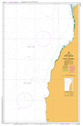
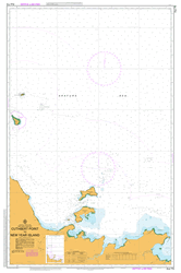
At this scale, 1cm on this map represents 1km on the ground. A standard map (which is square) covers an area of approximately 54km by 54km, with a contour interval of 20m. This map contains natural and constructed features including road and rail infrastructure, vegetation, hydrography, contours, localities and some administrative boundaries.
Please note the date of the map, as this will impact the currency of information, particularly regarding infrastructure, roads, etc.
Yula River Rinteyao Wagana River Yineiqua Yellow River Police Post Yellow River Yaumbi Yabrai Igu Hill Wrau Yommi Worumu Irimuri Irimuri Hamlet Irimuru Waringai Lake Warangai Lake Nahap Wanibe Creek Waniap Waiabu River Mount Stony Der Stein Sanap Creek Pourami Peubi Pentecost Mountain Mount Whitsunday Pfingst Lake Panewai Lake Panawai Panewai Painu Opri Mowi Meander Mountain May River May Mountains May Gebergte Magleri Magaleri Left May River Iwau Irimuri Hills Iniok 2 Iniok 1 Iemombui Double Head Burumai Buremai Auom Arai Ambreimaki Aibrum MRH Ama Airport AMF AYAA Aeroport d Ama Ama
| Title | Paper, Laminated |
|---|