Aus ENC PT 422 – Port Pack 422 on Sale
- Estimated Delivery : Up to 4 business days
- Free Shipping & Returns : On all orders over $200
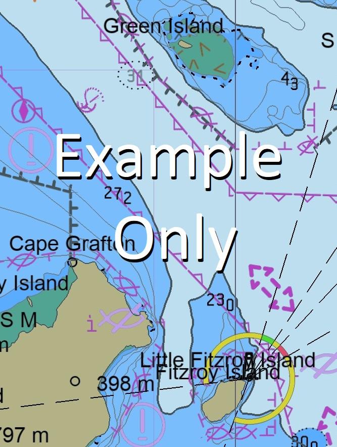
This official collection of Electronic Navigation Charts is produced by the Australian Hydrographic Office. It conforms to S57 IHO Standards and requires an S63 compatible system to operate. ENC are primarily produced to support the safe navigation of commercial shipping, but are equally useful for recreational vessels. ENC can, when used on a Type approved system, replace the need for paper nautical charts.
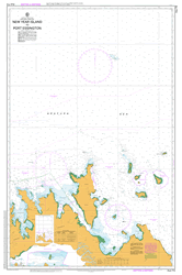
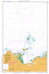
This AusENC packs contains all the Category 3, 4, 5 and 6 cells which overlap the area depicted in the map. The mapped area is based on the outer coverage of the category 5 and 6 cells within this pack. The category 3 and 4 cells not shown so as to avoid clutter. This pack does not include any category 1 or 2 cells.
For extensive detail on the symbology of nautical charts, the Admiralty Guide to ENC Symbols used in ECDIS is the definitive reference.
ENC Subscriptions
All AusENC packs are supplied as a subscription. This subscription gives you access to the updated information supplied by the Hydrographic Office throughout your subscription period.
Once your subscription is established, the Hydrographic Office will email you your permits (a small text file to load into your system), and then each fortnight will email you to advise if new permits need to be installed. This fortnightly email will also contain a link to the latest updates available.
Nearing the end of your subscription, we will contact you directly to confirm your requirements for a further renewal. You may also receive similar alerts from the Hydrographic Office.
AU130120 AU220140 AU411142 AU5299P0 AU130120 AU220140 AU411142 AU5299P0 AU130120 AU220140 AU130120 AU220140 AU411142 AU5299P0 AU130120 AU220140 AU130120 AU220140 AU130120 AU130120 AU130120 AU130120 AU220140 AU411142 AU5299P0 AU130120 AU220140 AU411142 AU5299P0 AU411142 AU5299P0
Thursday Island Wasaga Rose Hill Aplin Pass Battery Point Black Rock Brewster Reef Brisbane Rock Cardale Patch Channel Rock Devonshire Rock Ellis Channel Friday Island Friday Passage Ghibber Rock Goods Island Green Hill Greenant Hill Hammond Island Heath Point Hovell Rock Ipili Reef Kapuda Islet Kunai Islet Madge Reef Mecca Reef Milman Hill Muralug Normanby Sound Peile Reef Quoin Point Round Island Smith Point Tamwoy Tessy Head Torres Vivien Point Wai-Weer Islet Webb Point West Wai Weer Reef Round Island Conservation Park Double Hill Bruce Point Wednesday Spit Menmuir Point Sunk Reefs Hammond Islands Keriri Hester Hill Pig Hill Goode Island Palilug Diamond Point Bertie Bay Wanetta Tucker Point Powell Point Hovell Bar West Wai-Weer Reef Kate Point Wai-ben Normandy Sound Kunai Island Wilkie Bank Port Kennedy Thursday Island Harbour Normanby Sound Ledge Pott Point Kiwain Point Madge Reefs Holmes Reef The Gut Bogan Banks
| Title | 12Mth Subscription |
|---|
