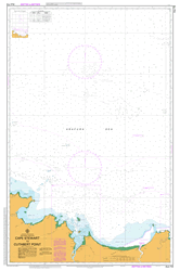
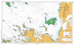
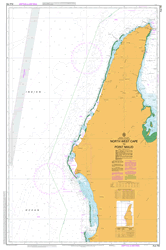
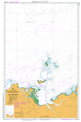
AUS 718 – Cape Stewart To Cuthbert Point Online now
- Estimated Delivery : Up to 4 business days
- Free Shipping & Returns : On all orders over $200
This official Nautical Chart is produced by the Australian Hydrographic Office, and corrected fortnightly to Notice to Marines by Cairns Charts & Maps. This ensures it remains compliance with Safety of Navigation requirements. This marine chart, or sea map , is primarily produced to support the safe navigation of commercial shipping through Australian, Papua New Guinea and Solomon Island waters.
Nautical charts depict the seabed, or bathymetry, using a variety of colours to shade the depth regions. Darker blues indicate shallower water, while light blues and white indicate deeper water. A chart will also show continuous contour lines (at varying intervals depending on the scale of the chart), spot depths across the whole area, as well as different symbols indicating wrecks, shallow rocks and dangers, as well as details on lights, light houses, tides and currents.
For extensive detail on the symbology of nautical charts, the Symbols and Abbreviations used on Admiralty Charts is the definitive reference.
Maningrida Anamayirra Creek Barnamarrakkakanora Bat Island Berraja Berraja Creek Blyth River Boucaut Bay Braithwaite Point Cape Stewart Cuthbert Point Djakalabona Entrance Island False Point Garrabu Goomadeer Point Goomadeer River Gorrong-Gorrong Gudjerama Creek Gumeradji Point Gumuruguru Gumuruguru Landing Ground Gupanga Gwynne Creek Hall Point Haul Round Island Hawkesbury Point Ji-Malawa Ji-Marda Ji-Marda Landing Ground Junction Bay Liverpool River Madarrgaidj Bay Maine Island Majari Creek Mangrove Bluff Maningrida Aerodrome Maningrida Barge Landing Maningrida Community Health Centre Maningrida Police Station Maningrida Pre School Maningrida School Mardjirgal Creek Marjirgal Creek Marlwon Marlwon Landing Ground Mewirnbi Nabbarla Kunindabba Nadilmuk Ndjudda Nei-Igmut Creek Ngandadauda Creek Norh East Point Nungbalgarri Creek Rolling Bay Sandy Beach Skirmish Point South West Point Tomkinson River West Point Worrmi Point Wurugoij Creek Yilan Beatrice River Gumadir River Haul Round Islet Maine Islet Sand Island Sand Islet Magari Creek Yinangamdua North East Point Benemanka
| Title | Paper, Flat Paper, Laminated |
|---|
