QLD 9445-41 Online Hot Sale
- Estimated Delivery : Up to 4 business days
- Free Shipping & Returns : On all orders over $200
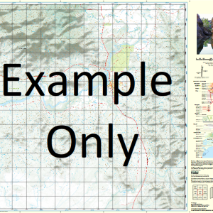
This Topographic Map is produced by the Department of Natural Resources and Mines (DNRM), part of the Queensland Government.
This product is continously updated with the latest information available. New editions are generally published in Oct Nov each year, however minor updates are constantly being included.
DNRM maps are produced automatically by computers, with minimal human oversight; so some duplication of information and occasional minor cartographic inconsistencies can be found.
The PDF version of this can be printed at home or sent to a professional printer for a 100% scale reproduction.
At this scale, 4cm on this map represents 1km on the ground. A standard map (which is square) covers an area of approximately about 12.5km by 12.5km, with a contour interval of 10m. This map contains natural and constructed features including road and rail infrastructure, vegetation, hydrography, contours, localities and some administrative boundaries.
Millbrook Aura Creek Black Knob Butlers Knob Corella Corella Creek Coronation Gully Donaldson Gully Downsfield Erins Knob Exhibition Gully Mount Goomboorian Hines Creek Kenny Creek North Deep Creek Pig Creek Road Gully Ryan Creek Mount South Goomboorian Veteran Creek Anderleigh Ross Creek Gympie National Park Ross Mount
| Title | Paper, Laminated, Pdf Download |
|---|