QLD 9447-22 Discount
- Estimated Delivery : Up to 4 business days
- Free Shipping & Returns : On all orders over $200
This Topographic Map is produced by the Department of Natural Resources and Mines (DNRM), part of the Queensland Government.
This product is continously updated with the latest information available. New editions are generally published in Oct Nov each year, however minor updates are constantly being included.
DNRM maps are produced automatically by computers, with minimal human oversight; so some duplication of information and occasional minor cartographic inconsistencies can be found.
The PDF version of this can be printed at home or sent to a professional printer for a 100% scale reproduction.
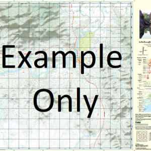
At this scale, 4cm on this map represents 1km on the ground. A standard map (which is square) covers an area of approximately about 12.5km by 12.5km, with a contour interval of 10m. This map contains natural and constructed features including road and rail infrastructure, vegetation, hydrography, contours, localities and some administrative boundaries.
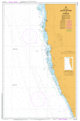
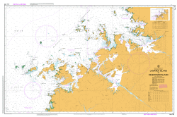
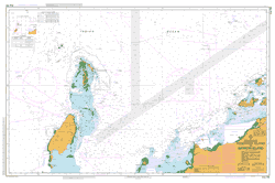
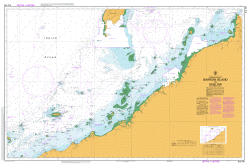
River Heads Alligator Creek Black Rock Buttenshaw Bank Duck Creek German Creek Heath Island Horseshoe Bank Inner South Head Jeffery Rock Kangaroo Island Leg Bank Little Rocky Creek Lorne Bank Mary River North Head Oyster Bank Panama Creek Rocky Creek Sandfly Creek Separation Point Shell Bank Shoulder Point South Bank South Head South White Cliffs Susan Island Susan River Upper Mouth Susan River Walsh Island Wanggoolba Creek Bingham Bunya Creek Shell Island Ketch Spit Turkey Creek Great Sandy Strait
| Title | Paper, Laminated, Pdf Download |
|---|